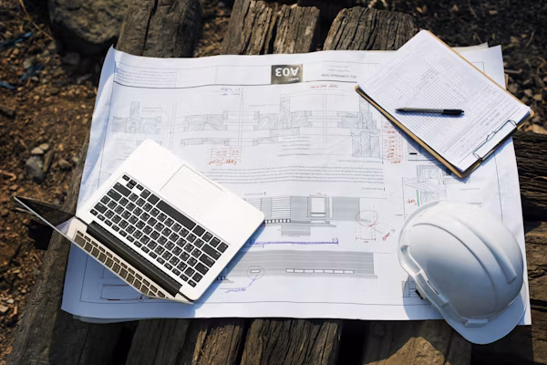
Modern Cadastral Solution
Revolutionize Land Administration with LIMS
LIMS is a comprehensive Land Information Management System designed for modern cadastral administration, property management, and spatial analysis. Streamline land transactions, improve transparency, and enhance service delivery.
Land Records
Property Registry
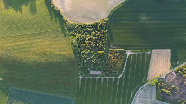
GIS Integration
File Tracking
Spatial Analysis